
 EN
EN
 ar
ar bg
bg hr
hr cs
cs da
da nl
nl fi
fi fr
fr de
de el
el hi
hi it
it ko
ko no
no pl
pl pt
pt ro
ro ru
ru es
es sv
sv tl
tl iw
iw id
id lv
lv lt
lt sr
sr sk
sk sl
sl uk
uk vi
vi et
et hu
hu th
th tr
tr fa
fa ms
ms hy
hy ka
ka ur
ur bn
bn mn
mn ta
ta kk
kk uz
uz ku
ku
tiltmeter monitoring
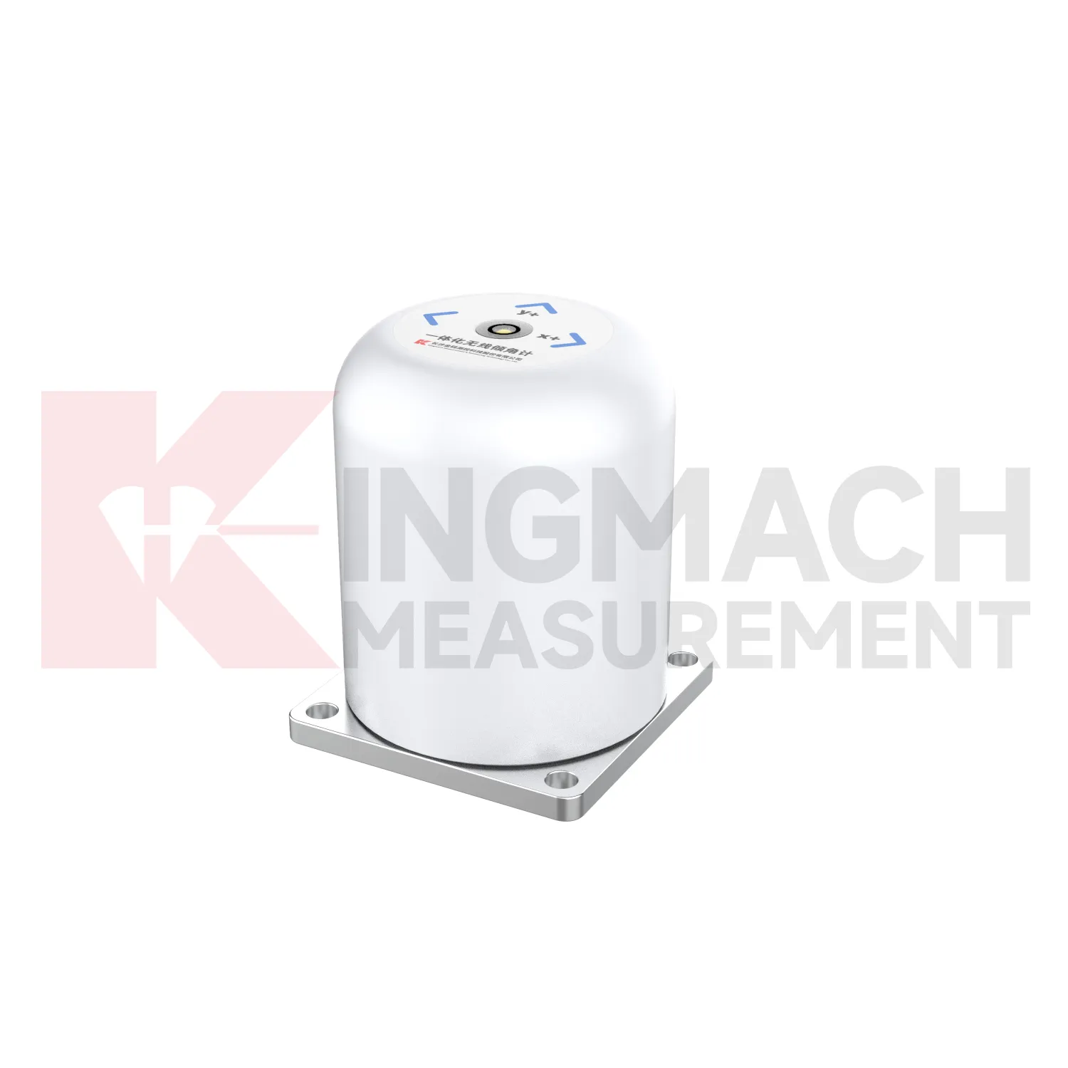
The JMQJ-7315RTU integrated tiltmeter expands Kingmach tiltmeter monitoring into wireless remote monitoring. It combines a fixed MEMS tilt sensor with 4G communication and intelligent chip technology, allowing long-term automatic testing of bridges, buildings, railways, and hidden structural parts. The product page lists +/-30 degrees dual-axis and +/-15 degrees dual-axis measurement ranges, 0.001 resolution, +/-0.05%FS accuracy, 3.6V 38AH battery power, wireless 4G digital output, -10 degrees Celsius to +55 degrees Celsius operating temperature, +/-0.1%FS per degree Celsius temperature drift, +/-0.1%FS per year long-term stability, and IP65 protection. This model is suitable where wiring is difficult, cabinet distance is long, or the owner wants unattended acquisition. The specification should still define mounting position, axis direction, transmission interval, battery inspection, and data platform naming.
Application of tiltmeter monitoring
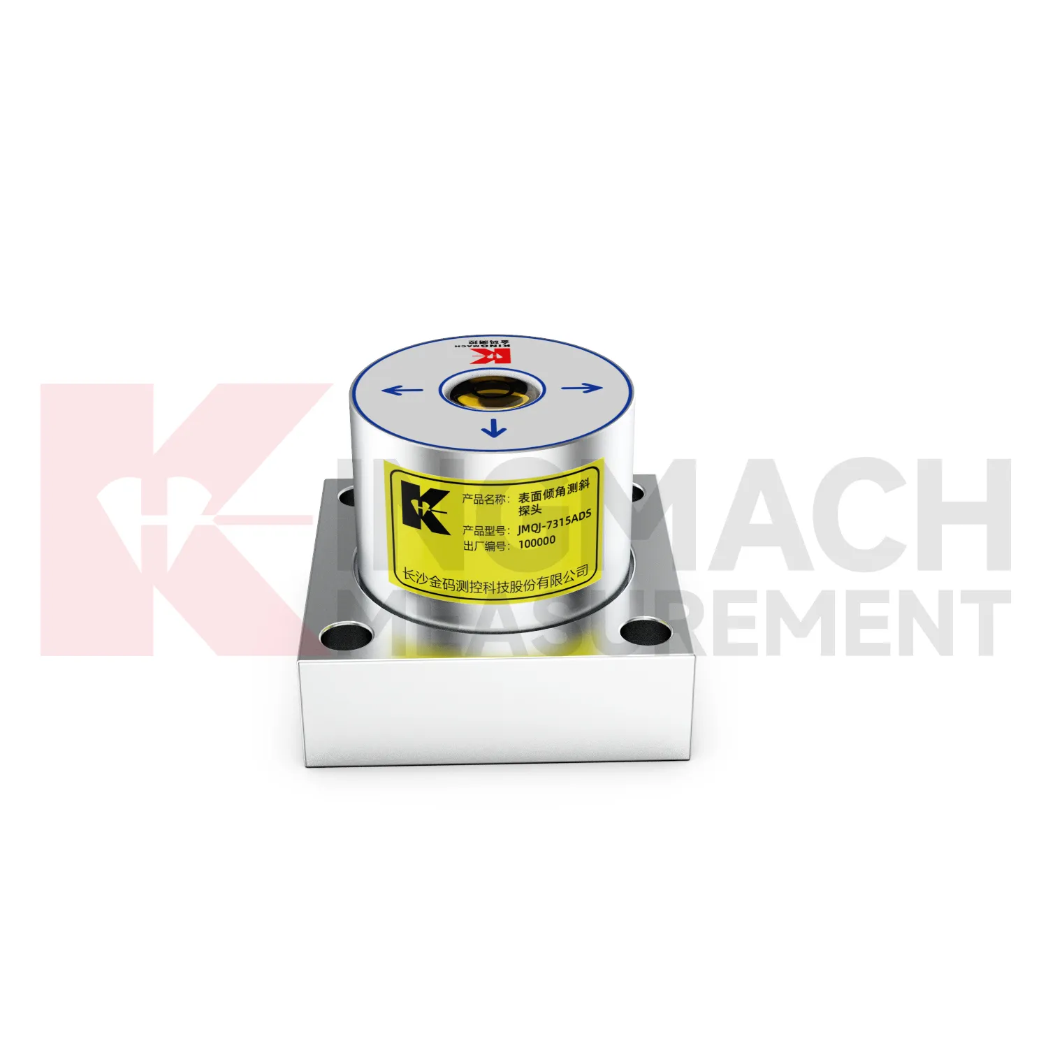
Building monitoring uses tiltmeter monitoring when column lines, basement walls, adjacent structures, or old buildings near construction activity need tilt records. JMQJ-7315ADS can measure angular change relative to the horizontal plane, and JMQJ-7315RTU can provide wireless reporting for remote or occupied sites. The data should be checked against foundation settlement, crack observations, groundwater changes, nearby excavation, demolition, pile driving, and load changes. Building tilt is often small, so installation quality matters. The mounting surface must be firm, the sensor axis must be recorded, and the baseline should be taken after the sensor has stabilized. For old or damaged buildings, clear point labels and photographs are important because many parties may review the same data during a long project.
The future of tiltmeter monitoring
Future tiltmeter monitoring will be reviewed more often with environmental and construction context. Tilt readings can change with rainfall, groundwater, temperature, excavation, traffic, wind, reservoir level, vibration, and loading. A platform that displays tilt beside these conditions can help engineers separate a temporary response from continuing deformation. Kingmach product categories include environmental monitoring, displacement sensors, settlement sensors, acquisition hardware, and visualization software, giving tilt data a natural place in a broader monitoring record. Future reporting should make relationships visible without hiding the raw angle data. When a curve changes, the engineer should be able to see nearby site events, related instruments, and inspection notes in the same review path.
Care & Maintenance of tiltmeter monitoring
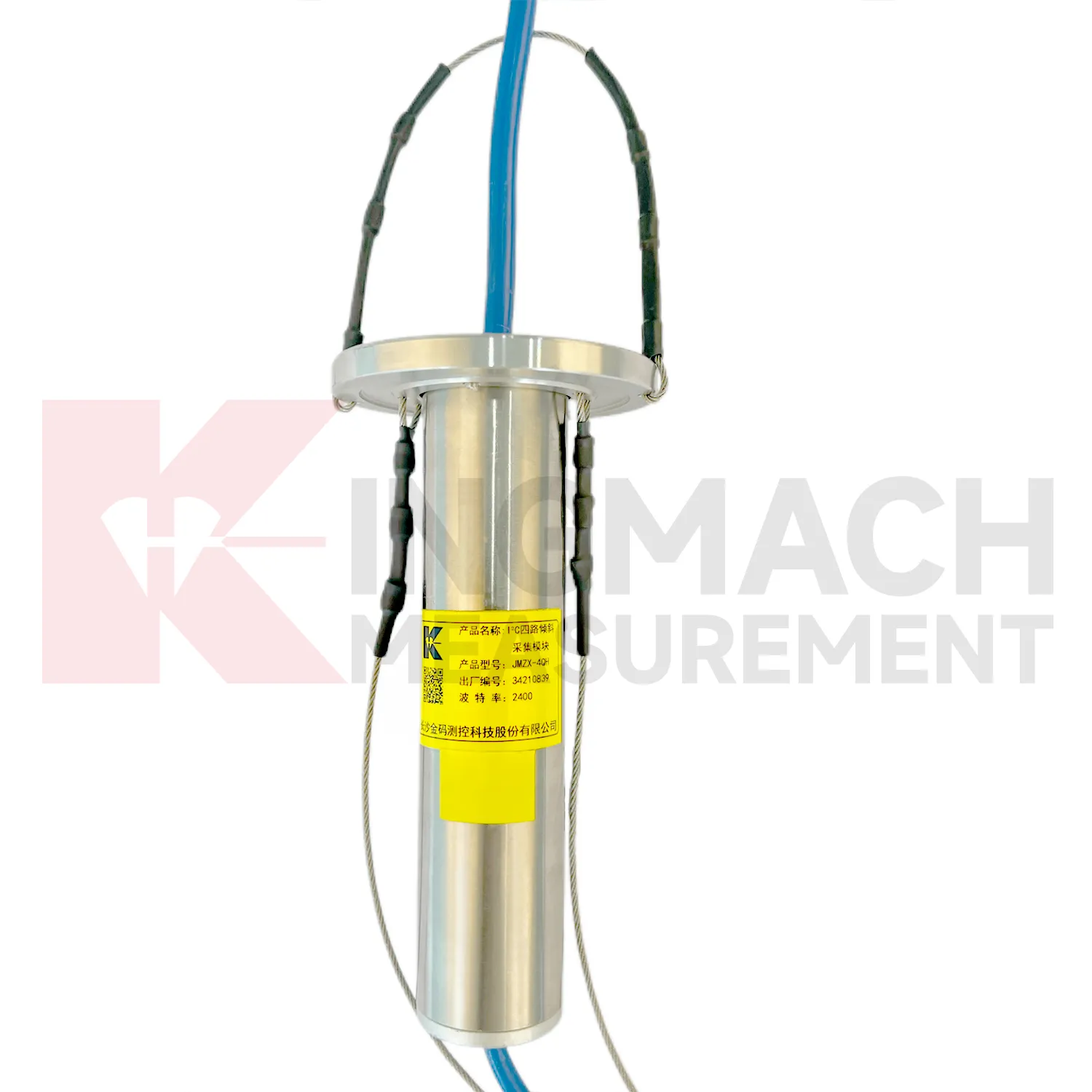
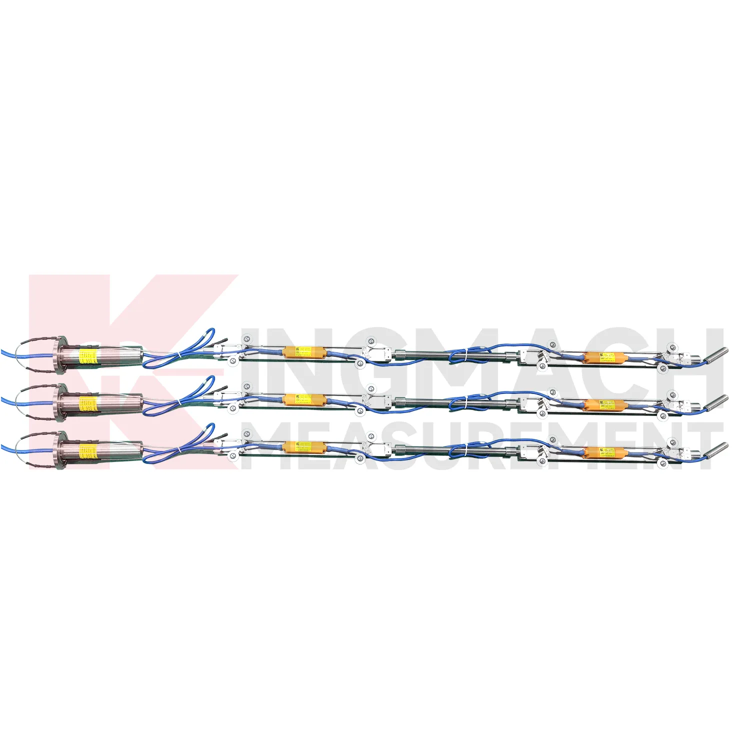
Borehole systems for tiltmeter monitoring need careful mechanical and data maintenance. JMQJ-7915ATS uses a multi-point tandem inclinometer string with universal joints, connecting rods, suspension, cables, and an orifice acquisition module. During installation, record measurement spacing, borehole ID, casing condition, orientation, group assignment, and factory configuration. During inspection, protect the orifice, check cable strain, review module status, and compare depth points for abnormal jumps. If one depth changes sharply while neighboring depths remain steady, inspect both the ground condition and the instrument chain. Borehole data is most useful when every depth point remains tied to a clear physical position and a stable orientation reference.
Kingmach tiltmeter monitoring
Kingmach tiltmeter monitoring help turn difficult-to-observe deformation into repeatable engineering evidence. Hidden parts of structures are often the hardest to judge: deep soil, buried retaining systems, bridge substructures, railway bases, foundation pit walls, and underground construction zones. Tilt measurement gives engineers a way to see angular change before visible damage becomes obvious. The product category is used in bridges, tunnels, slopes, buildings, foundation pits, geological hazard areas, railways, dams, embankments, port engineering, and other structural scenarios. The monitoring record should connect each sensor to a drawing location, axis label, baseline date, power source, communication path, and related construction activity. Without that context, even a precise angle may be hard to interpret. With it, tilt data can support timely inspection and measured engineering decisions.
FAQ
Q: How accurate is the JMQJ-7315ADS tiltmeter?
A: The product page lists 0.001 degree resolution and 0.01 degree accuracy for the +/-15 degree dual-axis model.Q: What protection grade does JMQJ-7315ADS have?
A: It is listed with IP68 waterproof protection and an operating environment from -30 degrees Celsius to +80 degrees Celsius.Q: What range does JMQJ-7315RTU provide?
A: The integrated wireless model lists +/-30 degree and +/-15 degree dual-axis range options, with 0.001 resolution.Q: How many sensors can JMZX-4QH support?
A: The module lists four channels and support for up to 100 sensors in a multi-point inclinometer system.Q: What is the guide wheel spacing for JMZX-7100L?
A: The sliding inclinometer page lists a 500 mm guide wheel spacing reference and a +/-90 degree sensor range.
Reviews
Daniel Brown
Excellent environmental monitoring sensors. The data is consistent, and the system integrates smoothly with our existing setup.
Christopher Martinez
Very satisfied with the readouts & data loggers. User-friendly interface and supports multiple sensor inputs.
Latest Inquiries
To protect the privacy of our buyers, only public service email domains like Gmail, Yahoo, and MSN will be displayed. Additionally, only a limited portion of the inquiry content will be shown.
Ava***@gmail.comAustralia
Hi, I am looking for reliable tiltmeters and accelerometers for structural health monitoring. Please...
Sophia***@gmail.comUnited Kingdom
Good day, we need environmental monitoring sensors including temperature, humidity, and wind sensors...