
 EN
EN
 ar
ar bg
bg hr
hr cs
cs da
da nl
nl fi
fi fr
fr de
de el
el hi
hi it
it ko
ko no
no pl
pl pt
pt ro
ro ru
ru es
es sv
sv tl
tl iw
iw id
id lv
lv lt
lt sr
sr sk
sk sl
sl uk
uk vi
vi et
et hu
hu th
th tr
tr fa
fa ms
ms hy
hy ka
ka ur
ur bn
bn mn
mn ta
ta kk
kk uz
uz ku
ku
Traversing Inclinometer
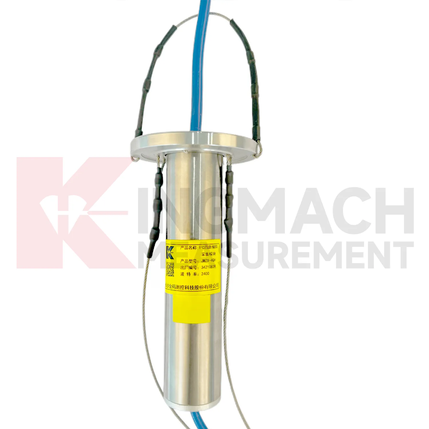
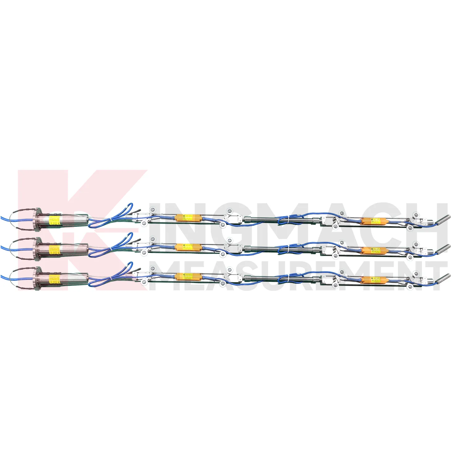
The JMZX-7100L sliding inclinometer is a field profiling instrument within the Kingmach Traversing Inclinometer group. It is used for measuring horizontal displacement changes inside soil masses in dams, building foundations, embankment slopes, underground construction projects, geotechnical slopes, and port engineering. The instrument combines a sliding inclinometer probe with a 3D-MEMS silicon capacitor biaxial inclinometer sensor and an integrated testing instrument. It supports mobile phone APP reading, Bluetooth transmission, large storage capacity for millions of readings, data download for numerical and graphical analysis, real-time wireless network sending, Chinese and English menus, and dedicated post-processing software. Published specifications include +/-90 degrees sensor range, 500 mm guide wheel spacing reference, a probe size of 26 mm by 776 mm, 8.5 kg total weight, 2 kg probe weight, -20 degrees Celsius to +60 degrees Celsius operation, 180 m water pressure impermeability, and 100 g vibration resistance.
Application of Traversing Inclinometer
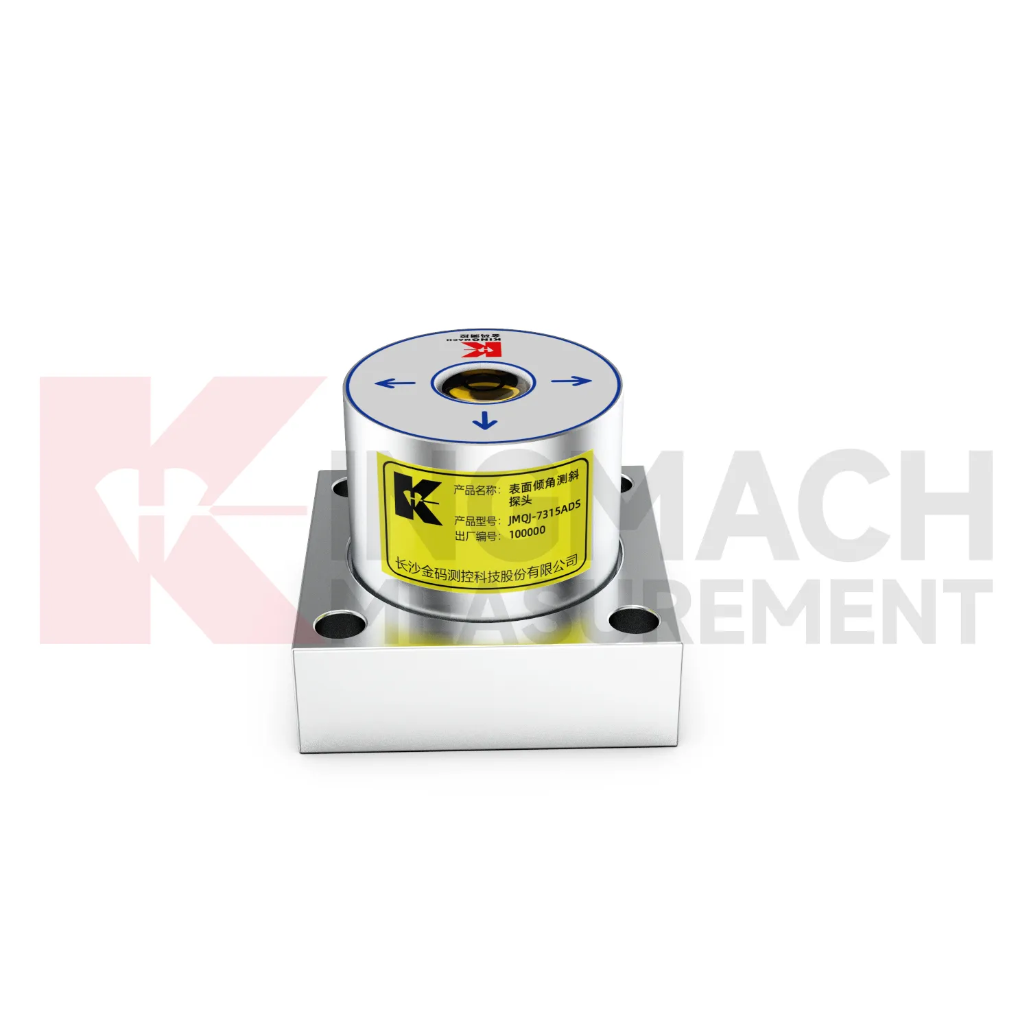
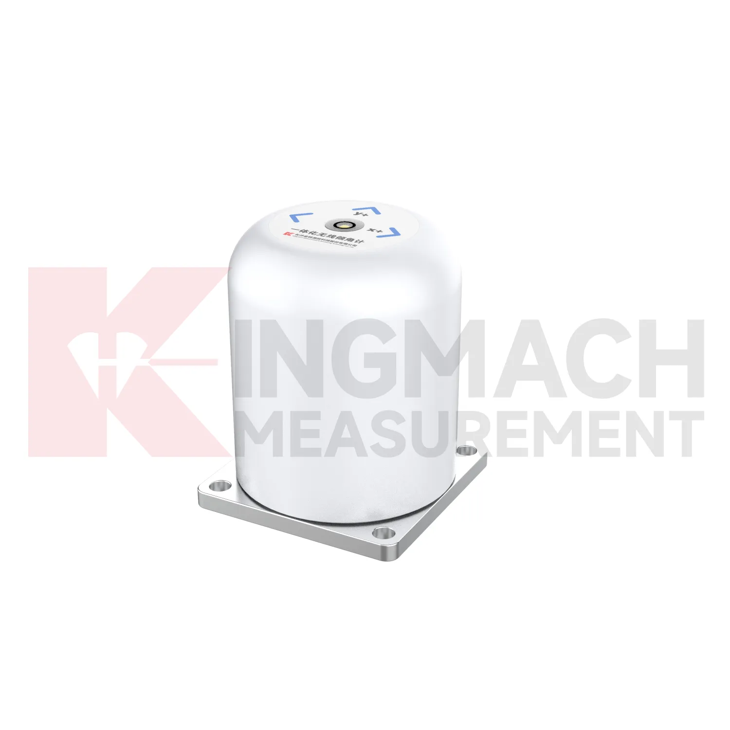
Railway and subway projects use Traversing Inclinometer to observe trackside structures, retaining walls, tunnel linings, station structures, and embankment slopes. JMQJ-7315ADS supports wired RS485 acquisition, while JMQJ-7315RTU can reduce cable work through wireless 4G transmission. For underground or borehole deformation, JMQJ-7915ATS can provide multi-point inclinometer measurements. Tilt data should be interpreted with train operation, vibration, settlement, displacement, lining inspection, groundwater, and construction stage. Railway environments place strict demands on mounting protection and data continuity because access windows may be short. A good record connects each sensor with chainage, side, axis, structural member, and baseline reading. That way a tilt trend can be quickly compared with maintenance work or nearby deformation instruments.
The future of Traversing Inclinometer
The future of Traversing Inclinometer will include stronger links to maintenance budgeting. Owners of bridges, railways, dams, tunnels, buildings, slopes, and towers need to rank which assets are stable and which require inspection or repair. Long-term tilt records can support that ranking when they are collected consistently and tied to structural locations. JMQJ-7315ADS, JMQJ-7315RTU, JMQJ-7915ATS, JMZX-7100L, and JMZX-4QH provide different paths for collecting angular or internal deformation data. Future asset systems can connect these records to inspection cycles, repair dates, weather events, and risk categories. The result is a tilt record that supports planning, not only construction-stage warnings.
Care & Maintenance of Traversing Inclinometer
Waterproofing maintenance protects Traversing Inclinometer in tunnels, slopes, dams, foundation pits, and outdoor structures. JMQJ-7315ADS lists IP68 protection, JMQJ-7315RTU lists IP65, JMQJ-7915ATS lists IP68, and JMZX-4QH lists IP67. These ratings help, but glands, connectors, cabinets, tube orifices, and field splices still need inspection after rain, flooding, dewatering, or washdown. Look for moisture inside enclosures, damaged seals, corrosion, loose plugs, and cable jacket cuts. For borehole systems, keep the orifice module protected from mud and site traffic. Record waterproof checks with date, weather, fault, repair action, and next reading. That record helps engineers separate true angular change from water-related data disturbance.
Kingmach Traversing Inclinometer
Kingmach Traversing Inclinometer support both surface structural tilt monitoring and deep internal deformation monitoring. Surface tilt instruments measure the angular change of buildings, bridges, railways, towers, walls, and equipment bases relative to the horizontal plane. Deep inclinometer systems, by contrast, follow angle changes inside soil or structural bodies through a borehole. The JMQJ-7915ATS vertical in-place inclinometer system uses a multi-array MEMS design, universal joints, connecting rods, and an orifice acquisition module to collect multi-point readings. This gives engineers a depth profile rather than one surface reading. That distinction is important in slopes, dams, embankments, foundation pits, and underground works. A surface point may remain calm while a deeper layer starts moving. Using the right tilt method makes the deformation pattern easier to locate.
FAQ
Q: What are Traversing Inclinometer used for?
A: They measure angular change or internal deformation in bridges, buildings, railways, slopes, dams, foundation pits, tunnels, and other structures where tilt or deep movement must be monitored.Q: Which Kingmach model is used for fixed structural tilt?
A: JMQJ-7315ADS is a fixed MEMS tiltmeter with +/-15 degree dual-axis range, 0.001 degree resolution, RS485 output, and IP68 protection.Q: When is JMQJ-7315RTU useful?
A: It is useful when wireless remote monitoring is needed because it combines MEMS tilt sensing, 4G digital output, and battery power.Q: What does JMQJ-7915ATS measure?
A: It measures multi-point inclination inside a borehole using a vertical in-place inclinometer string and an orifice acquisition module.Q: Can tilt data be used with other sensors?
A: Yes. It is often reviewed with settlement, displacement, strain, load, water level, rainfall, vibration, and inspection records.
Reviews
David Wilson
We purchased displacement transducers and settlement sensors, and the quality exceeded our expectations. Easy installation and reliable performance.
Joshua Clark
We ordered a full monitoring solution including sensors and data loggers. Everything works seamlessly together. Great supplier!
Latest Inquiries
To protect the privacy of our buyers, only public service email domains like Gmail, Yahoo, and MSN will be displayed. Additionally, only a limited portion of the inquiry content will be shown.
Olivia***@gmail.comUnited States
Hello, we are currently sourcing high-precision strain gauges and load cells for a bridge monitoring...
Isabella***@gmail.comGermany
Hello, we are evaluating weir flow meters for a water management project. Please share accuracy deta...