
 EN
EN
 ar
ar bg
bg hr
hr cs
cs da
da nl
nl fi
fi fr
fr de
de el
el hi
hi it
it ko
ko no
no pl
pl pt
pt ro
ro ru
ru es
es sv
sv tl
tl iw
iw id
id lv
lv lt
lt sr
sr sk
sk sl
sl uk
uk vi
vi et
et hu
hu th
th tr
tr fa
fa ms
ms hy
hy ka
ka ur
ur bn
bn mn
mn ta
ta kk
kk uz
uz ku
ku
Visualization Software
The platform is compatible with hardware devices from different manufacturers, different types, and different models. Devices can transmit data to the Cloud Platform by wired or wireless means. This matters for engineering owners because monitoring systems are often built in stages. A project may begin with a few sensors, then add acquisition modules, wireless transmission, environmental channels, displacement points, strain points, or water-level instruments later. Kingmach Visualization Software gives those devices a shared environment for storage, review, visualization, alarm handling, and reporting.
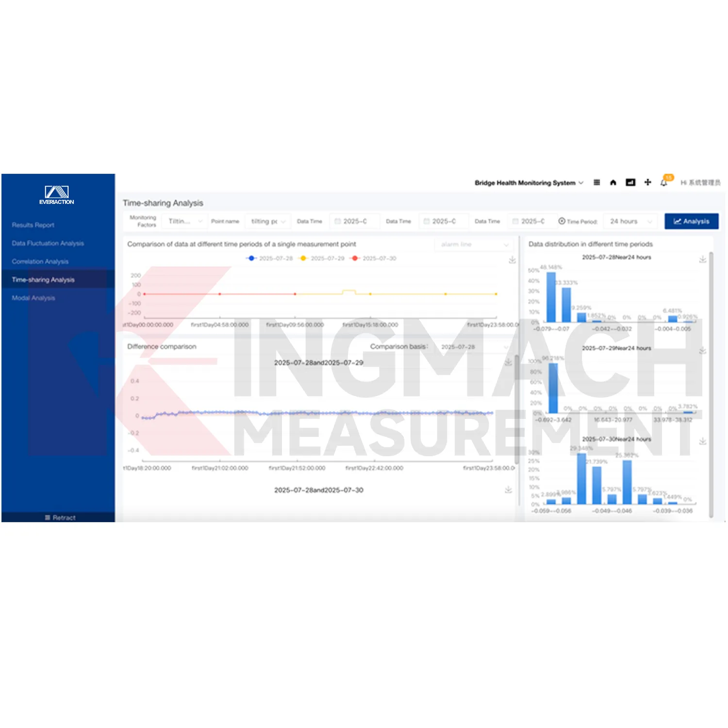
Application of Visualization Software
Bridge monitoring uses Kingmach Visualization Software to bring strain, displacement, cable force, vibration, temperature, wind, load, and inspection records into one project environment. Bridges often have many monitoring points spread across decks, cables, pylons, bearings, and foundations. The software helps users see trend changes, alarm records, and related channels without moving between separate device files. When traffic, wind, impact, or maintenance work affects the structure, the platform can preserve event context and support clearer engineering review.
The future of Visualization Software
Future reporting will become more automated through Kingmach Visualization Software. Owners will expect regular summaries, event reports, alarm histories, and maintenance records without rebuilding evidence manually each time. Because the platform stores project information, dynamic records, alarm levels, documents, and monitoring values together, report generation can become faster and more consistent. Expert review will still be needed for engineering conclusions, but the evidence package can be prepared with less repetitive manual work.
Care & Maintenance of Visualization Software
Project documents in Kingmach Visualization Software should be kept current. Upload or update drawings, point lists, installation photos, inspection notes, maintenance records, alarm response logs, and report files as the project changes. These documents give meaning to the trend curves and alarm history. If a sensor is moved, replaced, recalibrated, or disabled, the platform record should show the date and reason. Future reviewers need that context to interpret long-term monitoring data correctly.
Kingmach Visualization Software
Kingmach Visualization Software supports remote monitoring by letting data move from devices to the Cloud Platform through wired or wireless transmission. This is important for assets that are hard to access, such as slopes, dams, tunnels, bridges, wind towers, and distributed infrastructure. Remote data does not remove the need for site inspection, but it helps teams decide when inspection is needed and where to focus. Real-time storage and filtering also help preserve event records when weather, construction, traffic, or equipment operation changes the monitoring pattern.
FAQ
Q: What is Kingmach Visualization Software?
A: It is the Monitoring system software platform, also described as the Cloud Platform, for data integration, analysis, visualization, alarms, reporting, and project management.
Q: What technologies does it use?
A: The platform is based on Internet of Things, big data, and cloud computing technologies.
Q: What does the platform monitor?
A: It supports all-round monitoring of civil engineering structure safety across assets such as bridges, tunnels, slopes, dams, buildings, and foundation pits.
Q: Can it connect different devices?
A: Yes. The local product file says it can access hardware devices from different manufacturers, types, and models.
Q: How do devices send data?
A: Devices can transmit data to the Cloud Platform through wired or wireless means.
Reviews
Michael Anderson
The strain gauges and load cells are extremely accurate and stable. They performed very well in our bridge monitoring project. Highly recommended!
Matthew Garcia
Instrumentation cables are durable and perform well even in harsh environments. Will definitely order again.
Latest Inquiries
To protect the privacy of our buyers, only public service email domains like Gmail, Yahoo, and MSN will be displayed. Additionally, only a limited portion of the inquiry content will be shown.
Harper***@gmail.comIndia
Dear Sir, we are planning to procure a complete monitoring system including strain gauges, tiltmeter...
Emma***@gmail.comCanada
Dear Sir/Madam, we are interested in displacement transducers and settlement sensors for a geotechni...
Related product categories
- Monitoring Software Suite
- Monitoring system software platform
- Environmental Monitoring
- Visualization Software
- GPS Displacement Monitoring System
- Integrated Monitoring Station
- Settlement Monitoring Rod
- Structural Health Monitoring (SHM) System
- Structural Monitoring Cloud Platform
- IoT Online Monitoring System
- Monitoring System Platform & Services
- Engineering Pulse Intelligent Monitoring Cloud Platform