
 EN
EN
 ar
ar bg
bg hr
hr cs
cs da
da nl
nl fi
fi fr
fr de
de el
el hi
hi it
it ko
ko no
no pl
pl pt
pt ro
ro ru
ru es
es sv
sv tl
tl iw
iw id
id lv
lv lt
lt sr
sr sk
sk sl
sl uk
uk vi
vi et
et hu
hu th
th tr
tr fa
fa ms
ms hy
hy ka
ka ur
ur bn
bn mn
mn ta
ta kk
kk uz
uz ku
ku
Inclinometer-based Hydrostatic Leveling System
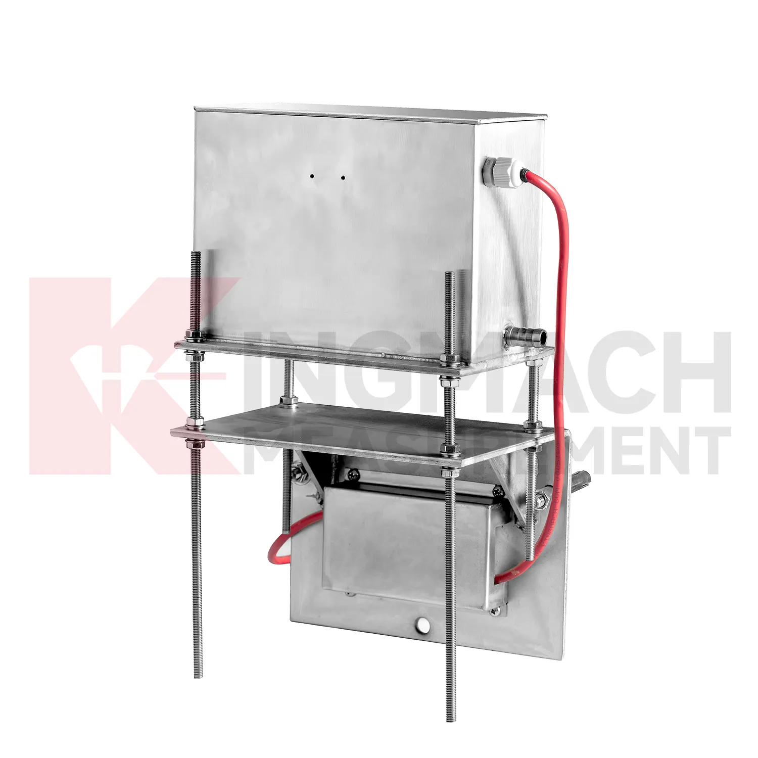
Kingmach Inclinometer-based Hydrostatic Leveling System also cover the JMQJ-62XXADT micro range hydrostatic level sensor, a compact instrument for small vertical deformation where fine reading stability matters more than large travel. The product page lists 50 mm and 100 mm ranges, 0.01 mm resolution, 0.5%FS accuracy, RS485 digital signal, DC 9V to 24V power, power consumption below 0.4W, IP68 protection, about 4.5 kg weight, temperature drift of plus or minus 0.001 mm per degree Celsius, and annual stability of plus or minus 0.1%FS. Typical sites include tunnels, subgrades, dams, bridges, slopes, and building foundations. Because the measuring span is small, installation quality has a strong effect on the usefulness of the readings. The installer should keep the mounting surface firm, shield the cable gland from standing water, protect the pipe connection, and label each sensor before cabinet wiring. Acceptance should include zero confirmation, response comparison between nearby locations, enclosure inspection, and a saved baseline table. For wet galleries, buried sections, or tunnel invert areas, the IP68 enclosure and low power demand help the instrument remain practical when access is limited. This model fits monitoring programs where gradual millimeter-scale movement must be recorded through long wet or buried service conditions.
Application of Inclinometer-based Hydrostatic Leveling System
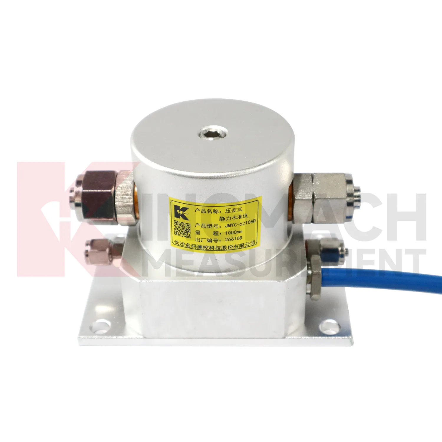
Reclamation and soft ground treatment need Inclinometer-based Hydrostatic Leveling System with enough range to follow large settlement while construction is still changing the load on the ground. In these projects, readings are usually reviewed beside fill height, surcharge placement, drainage progress, vacuum or preload timing, groundwater records, and cross-section drawings. Kingmach JMYC-62XXAD is well matched to this setting because it is a wide-range differential pressure hydrostatic level sensor with 500 mm to 4000 mm range options, 0.1 mm resolution, 0.2%FS accuracy, and RS485 communication. Instead of treating each point as a separate number, engineers can use a reference-point system to see how a whole section is deforming. One area may settle quickly after fill placement, while another reacts more slowly because drainage or soil thickness differs. That profile supports decisions about waiting periods, additional observation, or construction sequencing. The instrument layout should stay clear of heavy vehicle routes, protect cables near temporary roads, and preserve reference stability through the full treatment period.
The future of Inclinometer-based Hydrostatic Leveling System
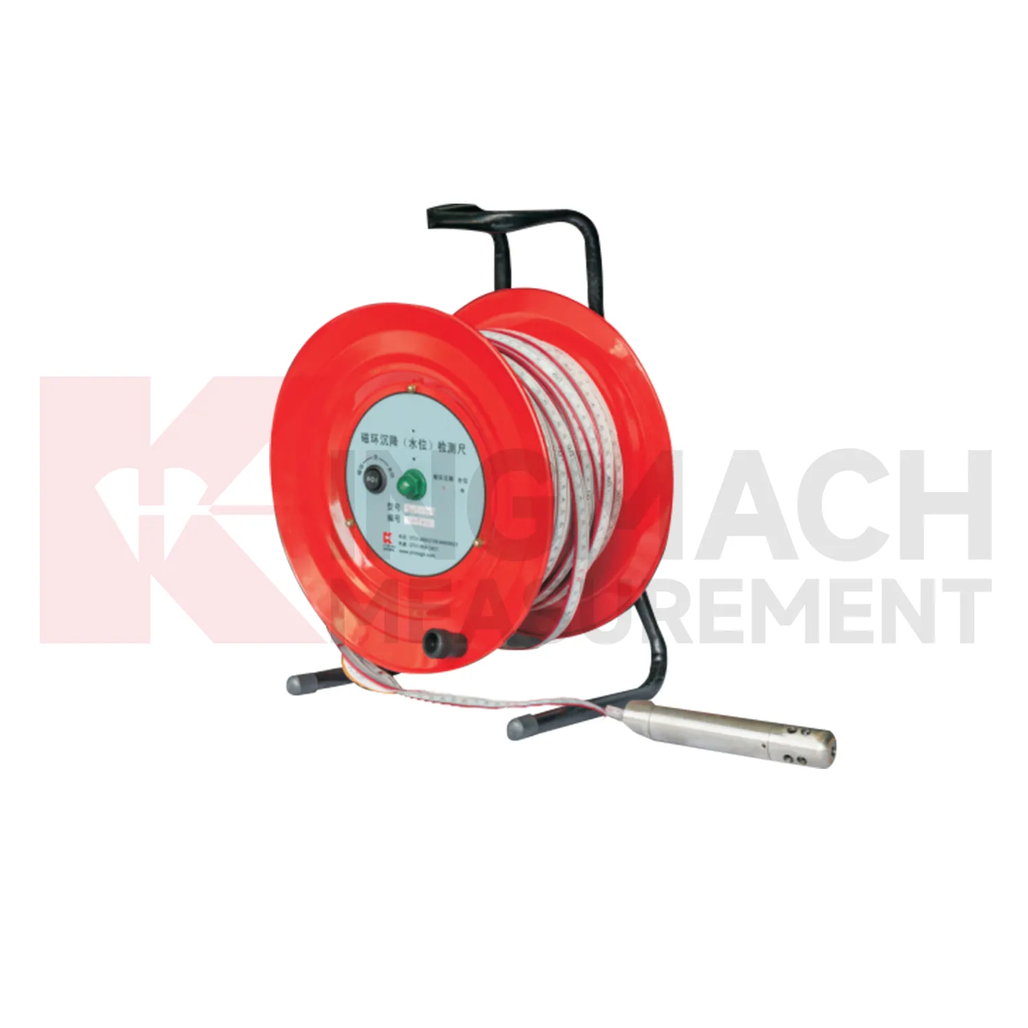
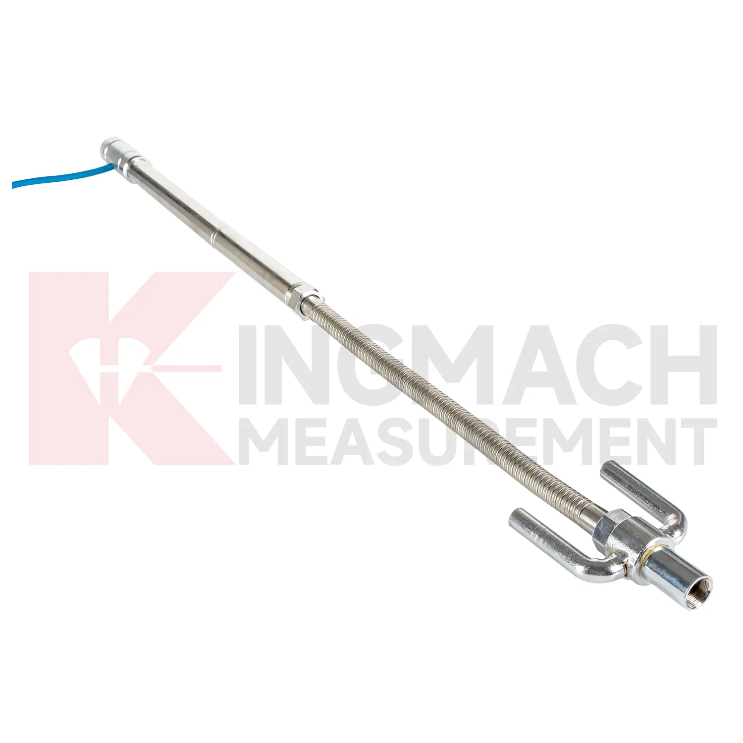
The future of Inclinometer-based Hydrostatic Leveling System will include cleaner digital handover records. Settlement monitoring often lasts longer than the construction team stays on site, so owners need more than a table of values. A useful handover file should include model, serial number, range, reference point, tube route, ring depth, baseline, installation photo, cable tag, borehole number, and first stable reading. Kingmach products such as JMDL-47XXAT and JMCJ-1003/1005 especially benefit from this because embedded rods, magnetic rings, anchors, and borehole readings may be hard to inspect later. When that information is stored with the curve, maintenance teams can understand why a point was installed and how its settlement should be interpreted years later. Future records should make the instrument history as visible as the measurement itself, so old readings can still be trusted after staff changes, repairs, and new construction stages.
Care & Maintenance of Inclinometer-based Hydrostatic Leveling System
Waterproofing and cabinet care matter for Inclinometer-based Hydrostatic Leveling System because many points work in wet foundations, dams, tunnels, slopes, and outdoor subgrades. Kingmach JMQJ-62XXADT lists IP68 protection, but connectors, cable glands, tubes, and cabinets still need inspection after heavy rain, flooding, dewatering, or washdown. Check for moisture inside junction boxes, loose terminals, damaged jackets, blocked cabinet drainage, and strain on cable entries. If a remote channel drops after a storm, inspect power supply and communication wiring before replacing the instrument. Keep spare seals, glands, connectors, labels, and drying materials available for field crews. Waterproof maintenance should be logged with date, location, weather, observed fault, repair action, and next reading. That record helps distinguish a real settlement change from a wet connector or cabinet fault.
Kingmach Inclinometer-based Hydrostatic Leveling System
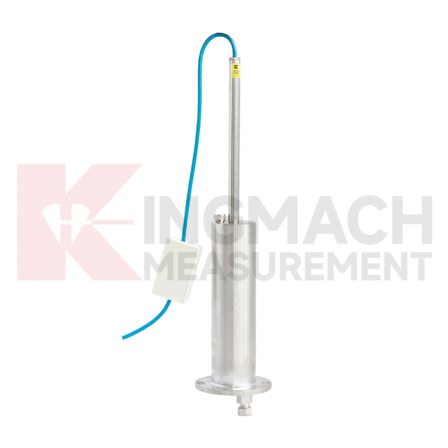
Hydrostatic Inclinometer-based Hydrostatic Leveling System are useful when several vertical movement points must be compared against a reference rather than read as isolated values. Kingmach JMDL-62XXADT and JMQJ-62XXADT use connected liquid paths and digital output to monitor vertical deformation in structures such as bridges, dams, tunnels, large buildings, and subgrades. The JMDL-62XXADT lists 50 mm, 100 mm, and 200 mm ranges with 0.01 mm resolution and RS485 output. The JMQJ-62XXADT micro range hydrostatic level sensor lists 50 mm and 100 mm ranges, 0.01 mm resolution, RS485 signal, and IP68 protection. These products are most useful when the tube route, reference point, cabinet, and baseline are documented clearly. If the reference is unstable, every curve downstream becomes harder to trust. A good point record also names the reference location, installation elevation, data channel, and maintenance access so later readings can be checked without guesswork. A good point record also names the reference location, installation elevation, data channel, and maintenance access so later readings can be checked without guesswork.
FAQ
Q: What are Inclinometer-based Hydrostatic Leveling System used for?
A: They measure vertical deformation such as foundation settlement, subgrade settlement, embankment heave, tunnel bottom uplift, dam settlement, bridge deflection, and building settlement.
Q: Which Kingmach models are related to this group?
A: Common models include JMDL-47XXAT, JMDL-62XXAT/ADT, JMQJ-62XXADT, JMYC-62XXAD, and JMCJ-1003/1005.
Q: What is the difference between single-point and hydrostatic monitoring?
A: Single-point gauges measure settlement at a specific embedded point, while hydrostatic systems compare several points against a reference level through connected liquid paths.
Q: Can the readings be collected remotely?
A: Yes. Several Kingmach hydrostatic and settlement instruments support RS485 output or automatic acquisition systems for remote collection.
Q: Why is the reference point important?
A: Settlement is often calculated relative to a reference. If the reference changes or is poorly documented, the whole settlement curve can become misleading.
Reviews
Michael Anderson
The strain gauges and load cells are extremely accurate and stable. They performed very well in our bridge monitoring project. Highly recommended!
Ryan Lewis
Fast delivery and excellent product quality. The accelerometers and tiltmeters are highly reliable. Strongly recommend this company.
Latest Inquiries
To protect the privacy of our buyers, only public service email domains like Gmail, Yahoo, and MSN will be displayed. Additionally, only a limited portion of the inquiry content will be shown.
Emma***@gmail.comCanada
Dear Sir/Madam, we are interested in displacement transducers and settlement sensors for a geotechni...
Evelyn***@gmail.comSouth Africa
Hi, we are a contractor working on tunnel construction and need settlement sensors and displacement ...